KTEX - Telluride Regional
Located in Telluride, CO, USA
ICAO - KTEX, IATA - TEX, FAA ID - TEX
Airport Type
Civil
Lat/Long
N37-57.2/W107-54.5
Elevation (ft)
9070
Fuel Available
AVGAS JET
Current UTC
5:01:53 AM (-7.00)
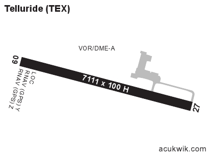
Approaches
LOC/DME GPS
Longest Primary Runway (ft)
7111 x 100, 09/27
Runway Surface
Asphalt/Grooved
PCN
Local Standard Time
11:01:53 PM
More Airport Information (Click to expand)
Airport Light Intensity
HIGH
US Customs Pre-Clearance
No
DST
2nd Sun in Mar 0200L to 1st Sun in Nov 0200L
Airport Hours
0600L to 2100L
Distance from City
5 MILES W OF CITY
Runway Diagram
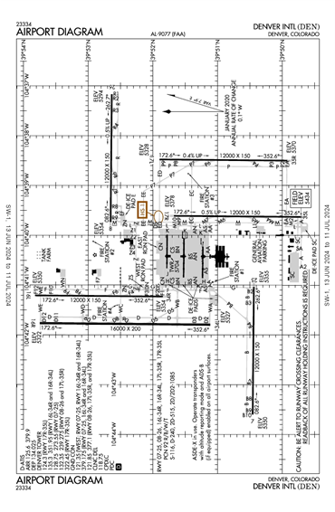
FAA Diagram
Google Satellite Map of KTEX
Airport Distance Calculator
The distance from to is
Nautical Miles
Airport Restrictions and Information