KPAH - Barkley Regional
Located in Paducah, KY, USA
ICAO - KPAH, IATA - PAH, FAA ID - PAH
Airport Type
Civil
Lat/Long
N37-03.6/W088-46.4
Elevation (ft)
410
Fuel Available
AVGAS JET
Current UTC
11:27:31 AM (-6.00)
Approaches
ILS GPS VOR
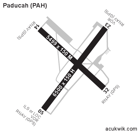
Longest Primary Runway (ft)
6500 x 150, 05/23
Runway Surface
Asphalt/Grooved
PCN
Local Standard Time
6:27:31 AM
More Airport Information (Click to expand)
Airport Light Intensity
HIGH
US Customs Pre-Clearance
No
DST
2nd Sun in Mar 0200L to 1st Sun in Nov 0200L
Control Tower Hours
0600-2300L
Distance from City
9 MILES W OF CITY
Runway Diagram
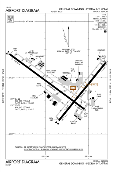
FAA Diagram
Google Satellite Map of KPAH
Airport Distance Calculator
The distance from to is
Nautical Miles
Airport Restrictions and Information
Hotels
Marriott Courtyard Paducah West